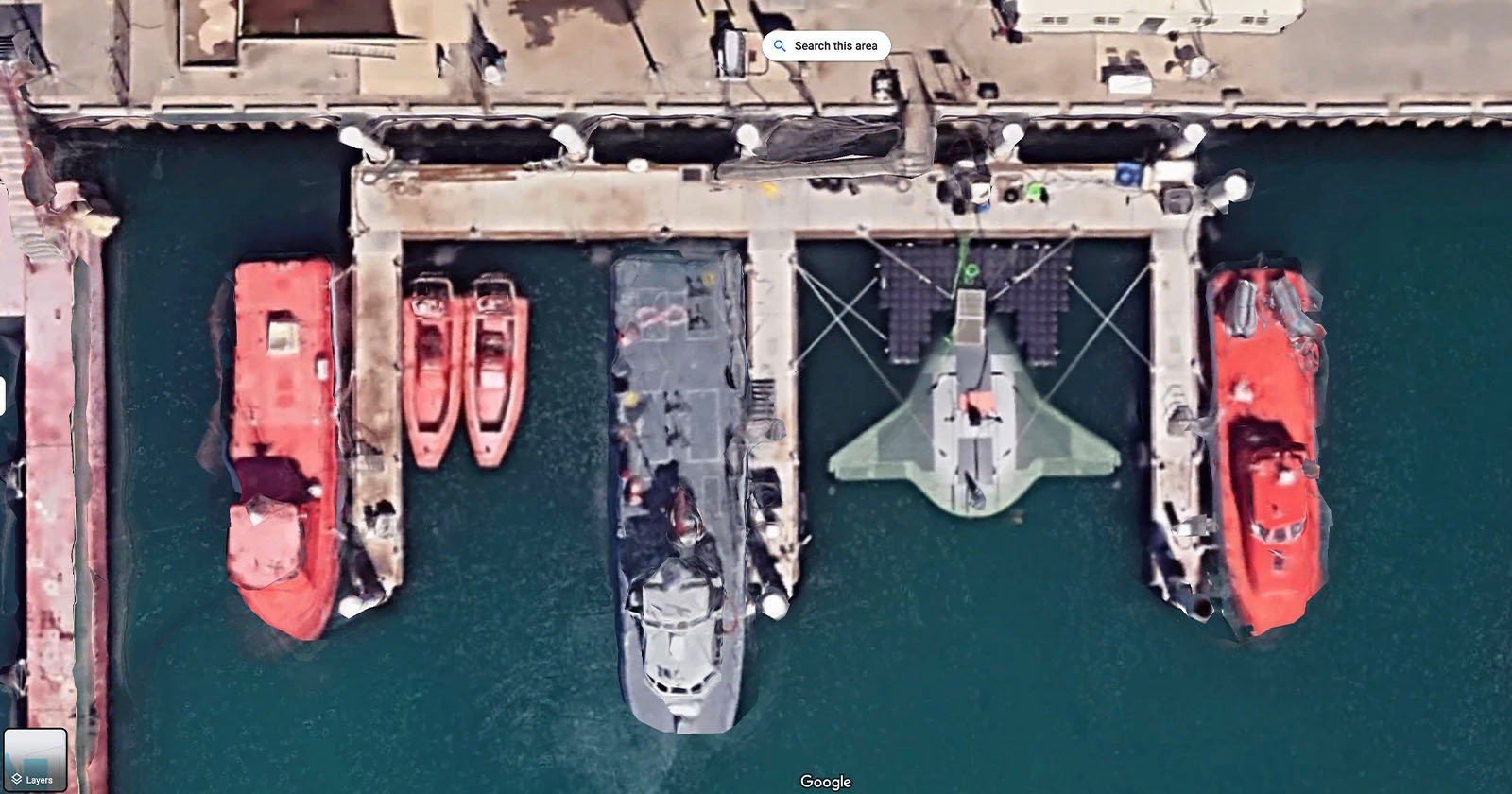
A Google Maps satellite image has picked up what is believed to be a prototype U.S. military underwater drone north of Los Angeles.
Tags:
A Google Maps satellite image has picked up what is believed to be a prototype U.S. military underwater drone north of Los Angeles.
Categories
No responses yet